
CYSF
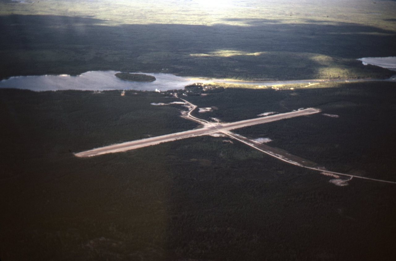
YSF/Stony Rapids treated gravel airstrip . It served Stony Rapids Caucasian community
1/2 mile north, on the Fond-du-Lac River and Black Lake aboriginal reserve a few road
miles east. Stony Rapids is approx 50 miles east of Uranium City (north shore of Lake
Athabaska,Saskatchewan) (view south to north) July 1971
<280px-NASA_Saskatchewan_Canada.A2002236.1810.721.250m_(1)-001.jpg>
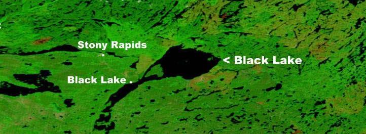
NASA map showing Black Lake
LocationStony Rapids, SaskatchewanTime zoneCST (UTC−06:00)Elevation AMSL801 ft / 244 mCoordinates<17px-WMA_button2b.png>59°15′01″N105°50′29″W
<220px-Stony_Rapids_Air_Terminal.jpg>IATA: YSF – ICAO: CYSF
– WMO: 71132
Stony Rapids Airport, (IATA: YSF, ICAO: CYSF), is located adjacent to Stony Rapids, Saskatchewan, Canada.
On June 25, 2006, the airport was used to evacuate residents from northern Saskatchewan when Stony Rapids and other nearby communities were threatened by forest fires.[4] “ (Wikipedia) the only thing that’s changed is a service building


